
FLOOD warnings have been issued for parts of the UK today as heavy downpours threaten to ignite travel chaos.
Ten flood warnings are in place over concerns of rising waters as a band of rain moves across the country.
Two yellow rain warnings are in place as downpours move across the UK
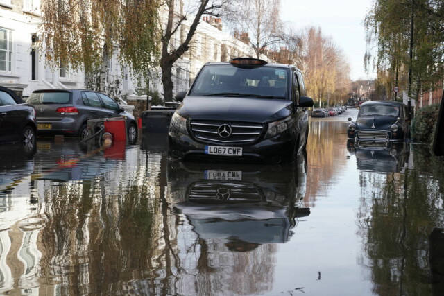
Surface water has already caused chaos on the A27 in West Sussex
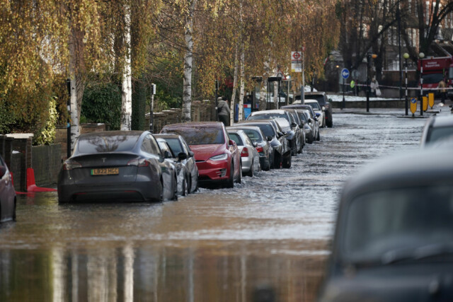
A burst water main flooded Belsize Road in Camden, London
London Fire Brigade said eight fire engines and around 60 firefighters were called out after the 42-inch water main burst
Heavy downpours and showers travelling northeast will bring heavy rain to the south and the west.
The Met Office is warning heavy and persistent rain could bring some travel disruption with two yellow warnings in place for the south of England and the south of Wales.
Flood warnings have been activated for a number of regions as rivers rise due to the wet weather.
Surface water is expected near roads in at least 10 areas including in parts surrounding the River Avon, River Axe, River Brit, River Char and River Wriggle.
High waters may also be seen at the River Yealm at Yealmbridge to Yealmpton, Upper Frome at Maiden Newton and Upper Frome from Maiden Newton to Dorchester.
Brits are urged to regularly check for updates to their forecast and see if their area is affected.
As the temperatures start to climb again, a big thaw has the potential to trigger flooding from bursting pipes.
Defrosting pipes are already starting to cause headaches around the country, with residents across four streets in Winnersh, Berkshire, waking to find floodwater at their doorstep following a huge water main burst on Sunday morning.
Several reports of burst pipes were made to utilities firm Welsh Water because of a “rapid thaw”, the Telegraph reports.
Residents in at least one part of England have been urged not to call 999 over rising waters unless their lives are in danger.
Shropshire fire department attended eight call-outs for flooding caused by burst pipes in just 24 hours.
A spokesperson said: “Unless there is a risk to life, there is little we can do.”
Mild conditions are set to stick around from today until at least Friday after a raft of freezing temperatures and snowfall.
Some downpours will be accompanied by gales or severe gales.
There will be drier interludes too, with temperatures slightly above normal.
The mercury is expected to jump by 15C this week and the cold snap will be replaced with warmer weather due to milder air coming in from the Atlantic.
Daytime maximum temperatures across the UK on Monday will range from 11C to 14C – in stark contrast to the chilly temperatures recorded over the last week.
Met Office meteorologist Marco Petagna said both daytime and night-time temperatures are expected to increase from tomorrow.
He said: “Daytime temperatures by Monday, we’re looking at across the UK highs of 11C to 14C, so around about 15C certainly higher than they’ve been.”
Mr Petagna said cold wind has been coming down from the north in the last week or 10 days, but this week gusts are going to start blowing in from the west or south west.
“So it’s bringing milder air off the Atlantic, rather than coming down from the Arctic,” he said.
Mr Petagna said it is not unheard of to get temperatures in the low teens at this time of year, but said the contrast of going from very cold to very mild in a day or two is quite unusual.

Skaters enjoyed the freeze in Welney, Norfolk
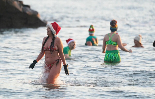
The chill did not deter those who wanted to take a dip in North Tyneside


