
A WEATHER map has revealed exactly when snow will hit the UK – as Brits face frost and fog.
Graphs from WXCharts show parts of western Scotland and eastern Northern Ireland could be hit with the white stuff next week.
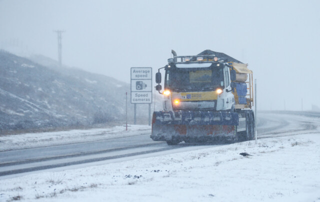
Drivers in Windsor Great Park battle a cold and foggy morning
Maps from WXCharts show snow – signified with purple – will hit on February 7
The map’s forecast shows snow moving across the north before it hits Scotland on February 7.
The map shows purple – signifying snow – hit in just five days.
Snow in Scotland has also been forecast by the Met Office in its long range forecast for February 6 to 15.
In its predictions for next week, the Met Office says there will be “a small chance of very cold conditions and snow showers moving in from the east.”
It added that beforehand: “For many, there should be plenty of mostly dry if rather cold weather, likely lasting a few days, with overnight frost and perhaps some fog patches in the south.”
In the next couple of days, many areas could see rainy conditions before a spell of frost and foggy conditions come in, according to the Met Office.
For most people today there will be mild conditions although it will be windy in northern England and large parts of Scotland will see rain first thing.
That rain will clear up as the day progresses except for the north west, the Met forecasts.
Most places will see mild and dry conditions overnight although some light rain will arrive from the west later in the night moving from Northern Ireland to south west Scotland.
That light rain will continue to move north east across Scotland on Friday but remain in the northern isles by the evening.
Many areas though will remain mild with some variable cloud.
Over the weekend though things will start to get colder, the Met predicts, although conditions will remain mild and dry.
The far north west though will see brief periods of heavy rain, stronger winds and blustery showers.
As the working week gets underway Monday should be mostly fine with sunny spells although it will remain cloudier in the north west which will also see some rain, according to the Met Office.
There will be light or moderate winds for most parts but these will grow stronger in the north west and there is a chance of gales in coastal areas.
Areas of high pressure will move in on Tuesday and be the most active in the north west although these will weaken as they move south east across the UK.
Dalwhinnie in the Scottish Highlands recently suffered a snow blizzard


