
A MAP has revealed who will see a White Christmas, with snow forecast on the big day in a number of areas across the country.
The festive season is always made a little more special by a dusting of the white stuff, and some Brits are likely to have their wish come true this year.
A new map has revealed which areas will see snow on Christmas Day| Goathland, North Yorkshire
Parts of Scotland and northern England are most likely to received a dusting of the white stuff (show in purple)
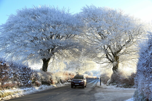
Wintry showers could extend into Yorkshire and towards the Midlands on Christmas Eve| Exmoor, Devon
The new map, from forecasters at wxcharts, shows snowfall concentrated in Scotland and northern parts of England on the day itself, particularly in western areas.
It even suggests that some parts could see some heavier wintry showers, with up to 2cm/hour predicted.
More widespread snow is also expected on Christmas Eve, with patches stretching down into Yorkshire and towards the Midlands.
People in the regions can also expect heavier snow at times, particularly overnight from December 23 to December 24.
However, given the milder temperatures at the moment, there is no guarantee that Christmas Eve snow outside of the far North will last into the next day.
Meanwhile, the Met Office forecast from Christmas is less definite, with predictions of unsettled weather and the chance of damper conditions on the way.
However, forecasters admitted that confidence is “unusually low”, meaning that it is hard to say what Brits can expect with any certainty.
The Met’s forecast for Christmas Day itself said: “The most probable scenario has cold conditions affecting northern areas and pushing south into milder air at times, however there is significant uncertainty in the location and movement of the boundary between the regimes.
“Any milder conditions are likely to be accompanied by wetter weather. Periods of rain are likely to run west-to-east across the country, bringing a threat of snow where they meet the colder air.
“Temperatures likely to be cold in the north and milder further south in general, however a downward trend is likely across all areas with average to below average temperatures for the country as a whole most likely for this period overall.”
It comes after snow and ice caused havoc in recent weeks, with school closures and travel chaos unleashed by a cold snap.
The deep freeze was caused by an arctic wind, dubbed the ‘Troll of Trondheim’, that swept down from Norway.
Since then, conditions have become far wetter and milder, but forecasts suggest another, if shorter, icy blast could be on the way in time for Santa’s visit.
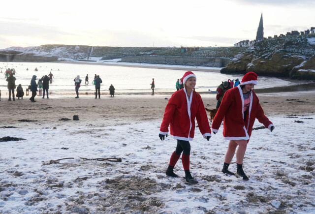
For some Brits, snow show arrive just in time for Santa’s visit| Cullercoats Bay, Tyneside

However, in southern areas people may see a Christmas that’s more wet than white| Waterloo Bridge, London


