
SEVERE snowstorms and travel disruption will plague the UK again today and tomorrow, forecasters have warned.
The Met Office has issued an amber warning for “strong winds bringing blizzard conditions” and up to 16 inches of snow to the area stretching from Stoke-on-Trent to Durham.
Cars stuck in heavy snow on Lydeard Hill near Cothelstone, Somerset
Morning commuters in Sunderland tackle snow and ice on the roads

People play in the snow on the Dunstable Downs in Bedfordshire

Snow covered allotments in Stevenage, Hertfordshire

Overnight temperatures were expected to drop to as low as -13C in northern Scotland, with the mercury hovering around zero or in low single figures elsewhere.
And today, Brits will struggle to see double digits anywhere other than the far south west of England.
Rain across the South will turn to snow as it moves further north, according to the Met Office.
Then more “heavy snow” will hit on Friday, primarily across the Midlands, North East and West, and Yorkshire.
Forecasters warn: “Heavy snow is likely to cause significant disruption on Thursday afternoon and Friday morning.
“Strong easterly winds are expected to accompany this snow, leading to blizzards and drifting of lying snow.”
Almost eight inches of the white stuff is expected to fall “quite widely”, with 16 inches in some places.
The Met Office says motorists should expect hold-ups on the roads, with some vehicles and passengers becoming stranded.
Delays and cancellations to rail and air travel are also likely, and “there is a good chance” some rural communities could become cut off.
The amber weather warning lasts for 21 hours from 3pm on Thursday.
Several milder yellow weather warnings for snow have also been issued, covering much of the nation from Wednesday to Friday.
Met Office chief meteorologist Matthew Lehnert said: “Snow will have settled quite widely in central parts of the UK as we move into Thursday morning leaving tricky conditions for the morning travel period.
“It will be another very cold night, especially under clear skies in Scotland where temperatures could get down to -15C.
“An amber warning for snow has been issued for the high ground running north in the centre of northern England as snow redevelops through the course of Thursday and persist until early Friday.
“Here we could see up to 40cm of snow accompanied by strong winds causing blizzard conditions.”
‘SERIOUS IMPACT’
The UK Health Security Agency (UKHSA) has placed all regions of England under a level 3 cold weather alert – lasting until midnight on Thursday.
Agostinho Sousa, a consultant at UKHSA, said the chilly conditions could have a “serious impact” on people’s health, particularly the elderly, while Age UK has urged people to check in with their older neighbours and relatives.
National Highways has warned drivers in the West Midlands and the East of England not to travel unless their journey is essential.
RAC Breakdown said there was “an increase in breakdowns” in a zone stretching west from London along the M4 corridor and into Wales.
Rod Dennis, from RAC, said: “We’re continuing to monitor the weather situation closely, but with further snow expected over the next few days there is still the potential for some significant disruption to journeys.
“Even a little snow and ice can make roads treacherous, so we’re advising everyone who does set out to proceed extremely cautiously.
“We’re also conscious that there will be a large number of new drivers who may never have experienced snow on the roads before, so we urge them to take particular care and drive well within the speed limit to give themselves plenty of time to react should the vehicle in front run into difficulty.”
He advised motorists venturing out to prepare for their journeys by packing warm clothes and blankets, sturdy footwear, food and drink, and a portable phone charger.
A Met Office yellow warning for snow and ice covers northern Scotland until 10am on Thursday, along with central and southern areas of England and Wales from midnight until 7am.
Another yellow warning for snow and ice covers north-east England and south-east Scotland from 5pm on Wednesday until 7am on Thursday.
A fourth yellow warning for snow covers all of the UK north of Birmingham, spanning from 7am on Thursday until 2pm on Friday.
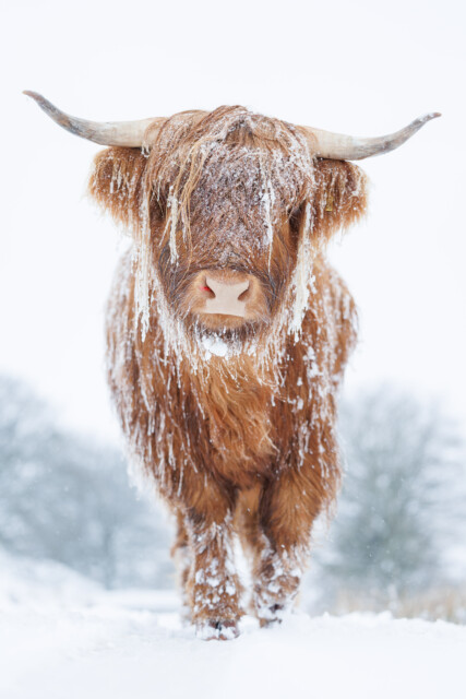
A highland cow in the snow on Manmoel Mountain, Ebbw Vale, Gwent
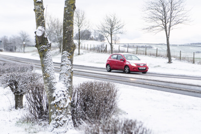
A car out in the snow in Sunderland


