


FLOODS and power cuts are expected today as Britain braces for two days of yellow weather warnings.
Thunderstorms will sweep across much of the South and the North East today – with the wild weather expected to last into tomorrow.
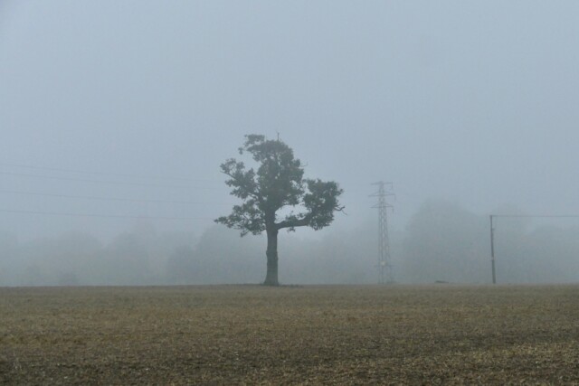
There’s a chance of flooding under the yellow warnings
Brits are braced for thunderstorms across the next two days
The Met Office has issued two yellow weather warnings for thunderstorms, one for today and one for tomorrow, with the downpour expected across much of the country.
Both warnings cover all of the South East and most of the South West.
The affected area then stretched north right the way up the east coast.
Cities as far north as York and Middlesbrough are set to be affected.
The two warnings cover the period from 4am on Sunday to 5am on Monday.
The Met Office says this could involve sudden flooding and possible power cuts, with traffic delays and other transport issues where floods and lightning strikes hit.
There is also a possibility that small communities could be temporarily cut off by flooded roads at the worst point.
Scotland, Wales and Northern Ireland, as well as the North West, will avoid the worst of the weather.
However, these areas are still set to see long spells of rain, many of which could be heavy.
Despite this, the UK will remain warm – with humid conditions set to linger into next week.
It comes after four flood alerts were issued on Thursday and a yellow weather warning for thunderstorms and lightning.
A jet stream was sweeping across the UK, bringing with it the wet weather and prompting the alert.
The UK has been experiencing temperatures much warmer than usual for this time of year – and that’s set to continue.
October’s highest temperature ever recorded in the UK was 29.4C in the small market town of March, Cambridgeshire, on the first day of the month in 1985.
Forecasters have been hailing the warm weather as an “Indian Summer”.


