
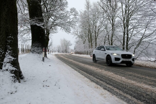
SNOW is set to batter the UK as temperatures plunge to -6C in the first cold snap of the year.
A new jet stream is predicted to bring “wintry” spells and sub-zero temperatures as Brits brace for a sudden deep-freeze.
Snow is expected to hit parts of Britain as early as the weekend| Glasgow, Scotland
Temperatures are set to drop to an icy -6C| Corgarff Castle, Scotland
The heaviest snow is expected next Tuesday in Scotland| Callander, Scotland
Graphics from WX Charts suggest that band of snowfall could sweep in from the West as early as the weekend.
Some heavy snow if forecast in western Scotland on Saturday and Sunday, while parts of western Wales and the North West could get a dusting as the new week begins.
Beyond that, the white stuff is expected to hit the South West, as well as much of the west coast, on Tuesday.
Much of the rest of the country is predicted to see heavy rain across the entire period.
Meanwhile, temperatures could drop as low as -6C as snow combines with icy winds to plunge Brits into a deep cold snap.
The Met Office was less definite in its forecast, but did say that “wintry showers” were possible.
Met Meteorologist Aidan McGivern said: “The jet stream is approaching the UK from the west and sending us further areas of low pressure, with tightly packed isobars across the UK.
“That continues to be the case as further low-pressure systems deepen and get sent in from the West.
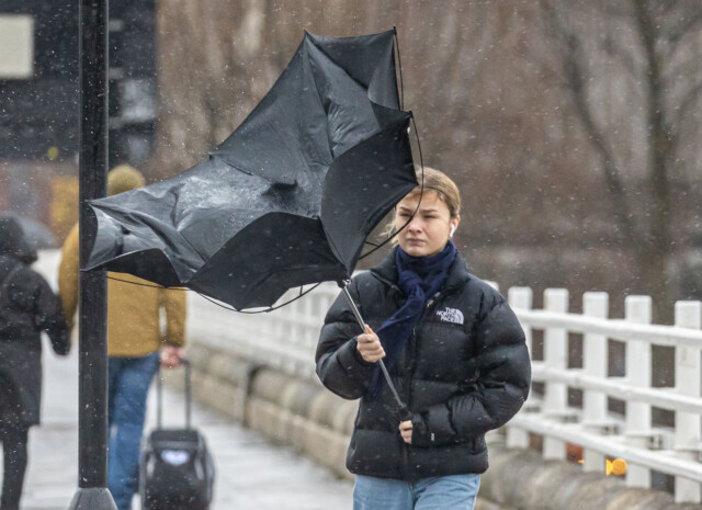
“It’s going to stay blustery, with some strong gusts in the west in particular and these lows will continue to send us outbreaks of rain and showers heading into the weekend.
“On Tuesday next week, the greatest risk of snow will be across northern parts of the UK, perhaps central areas and mostly over the hills.”
There are two yellow weather warnings in place going into the weekend, both for wind.
One covers Northern Ireland, while the other stretches up the west coast from Bangor, Wales to just before Carlisle, Cumbria.
These areas are likely to see travel delays, while short terms loss of power is “possible”.
It comes after downpours brought flooding in many areas, with over 200 flood alerts still in place in England alone.
The Environment Agency has issued 161 flood alerts, meaning that flooding is possible, and 75 flood warnings, meaning that it is expected.
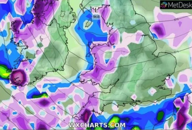 A band of the white stuff is predicted to sweep in from the west next week
Much of the rest of the country will see heavy rain| Waterloo Bridge, London
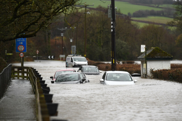
Downpours have already caused severe flooding and over 200 flood alerts remain active| Peterston-Super-Ely, Wales


